Quick Answer
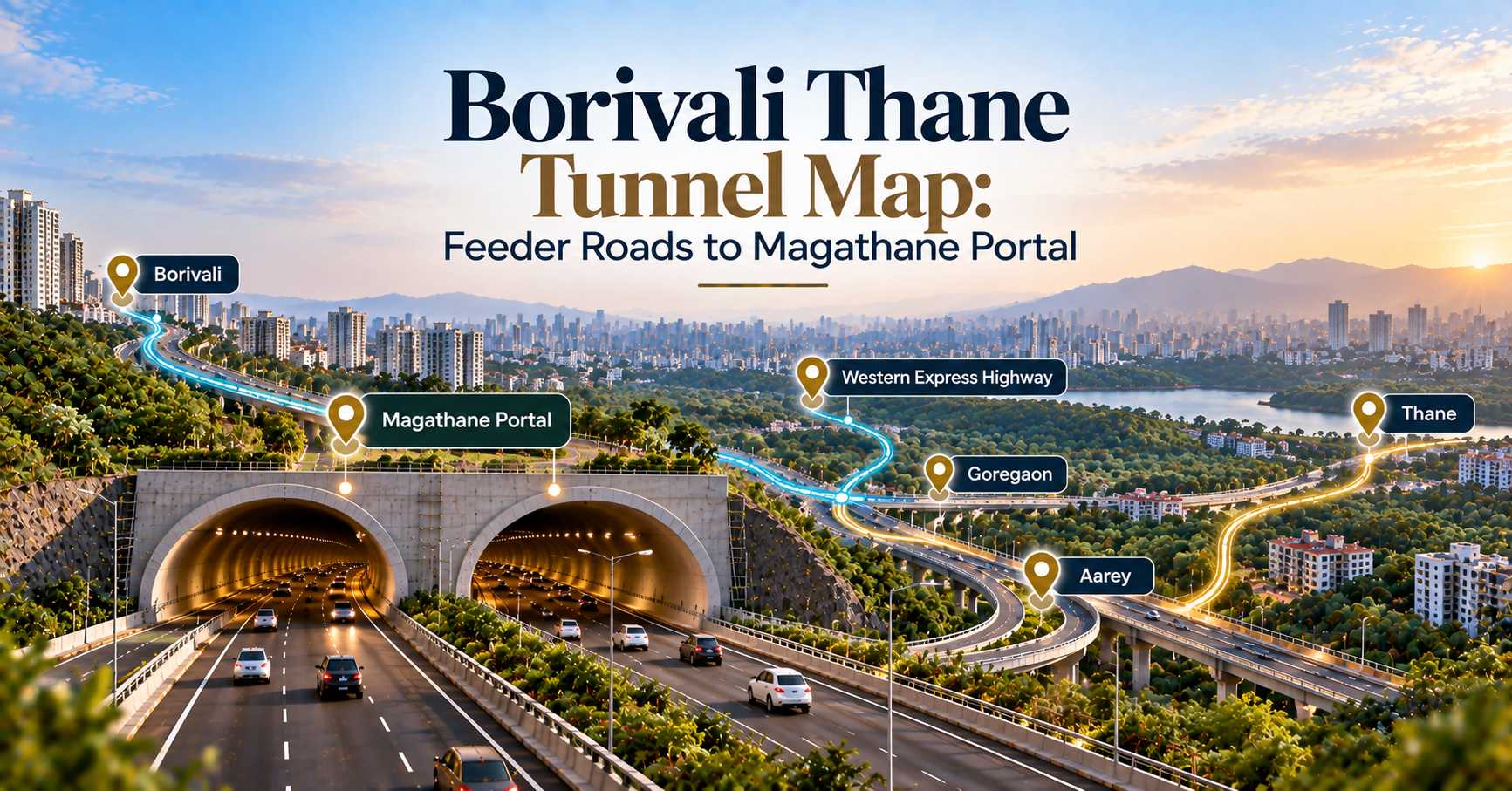
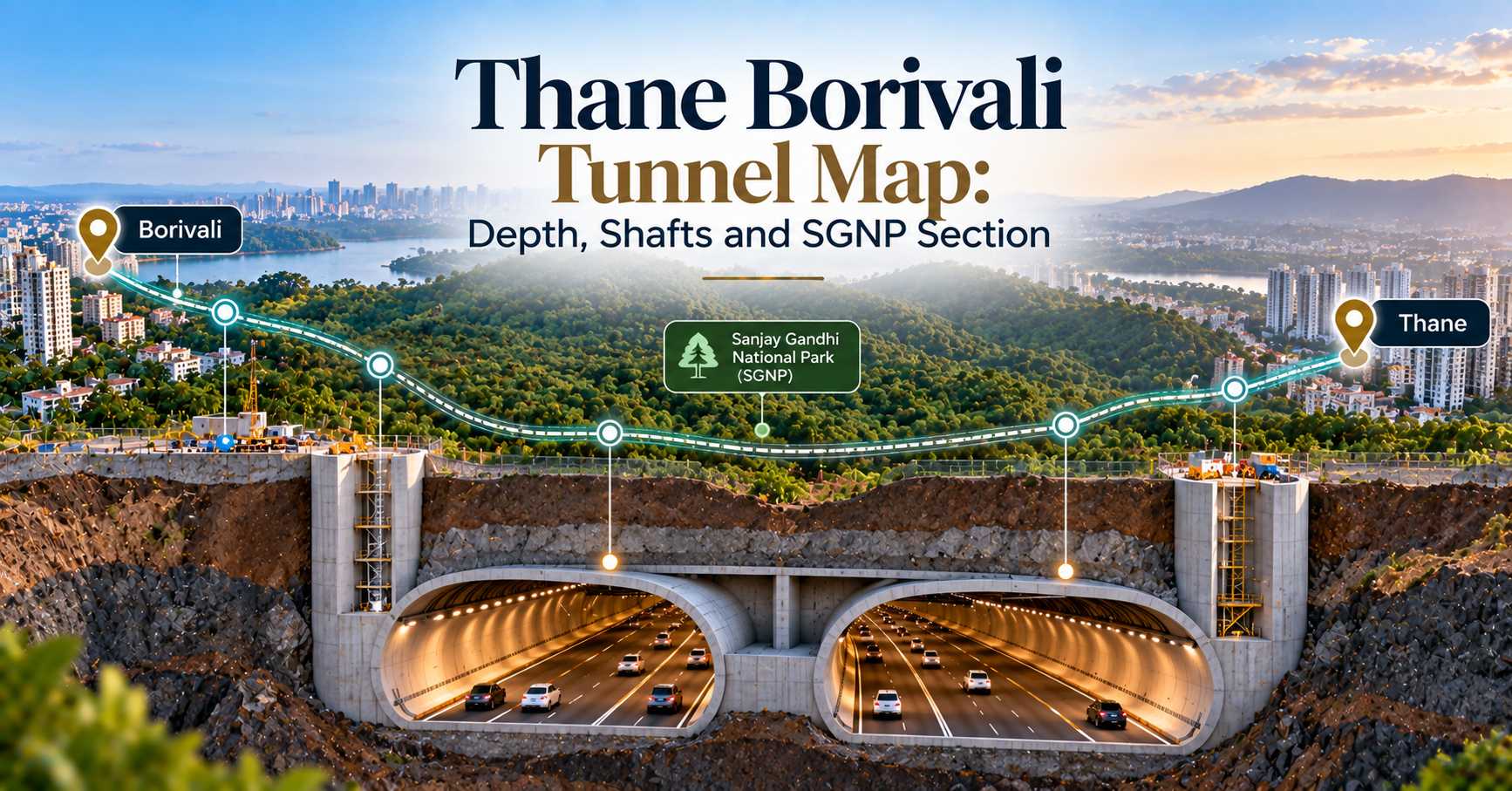
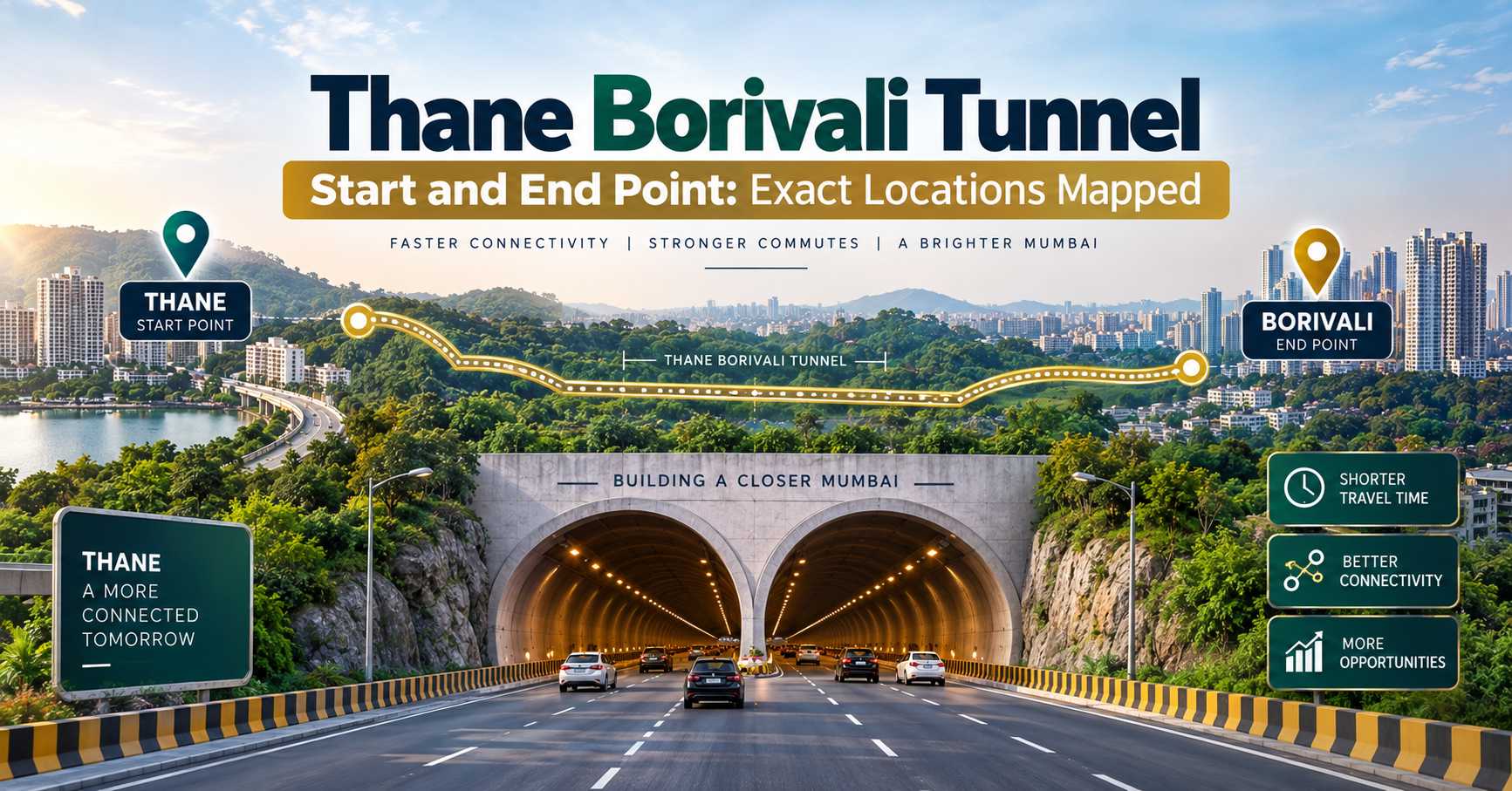
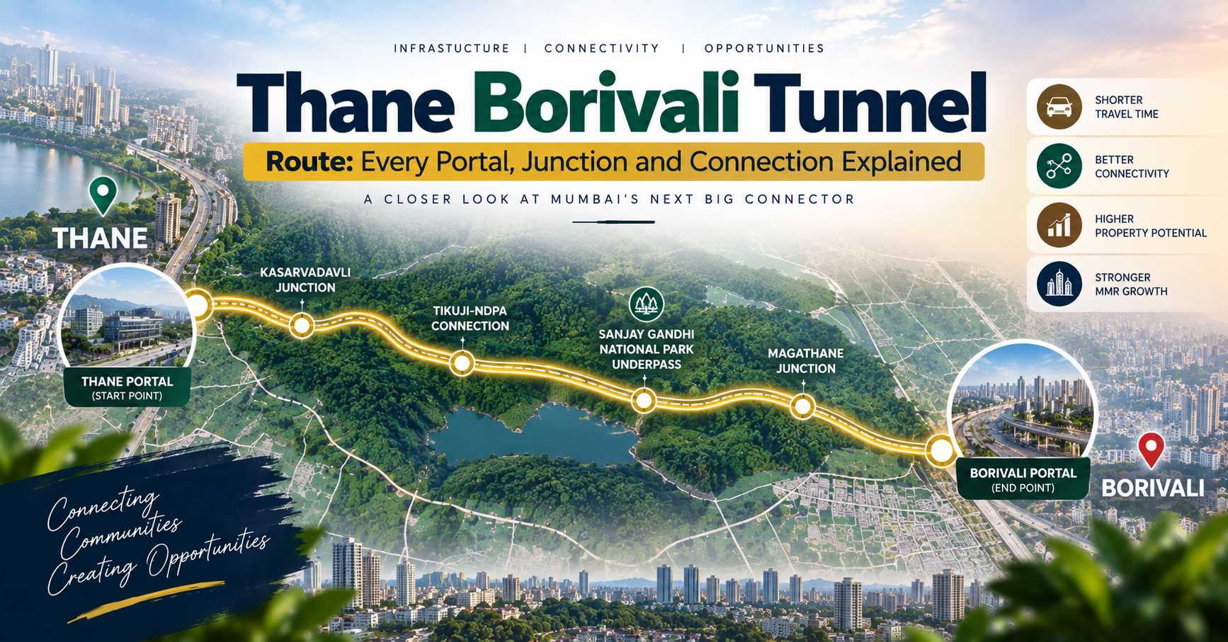
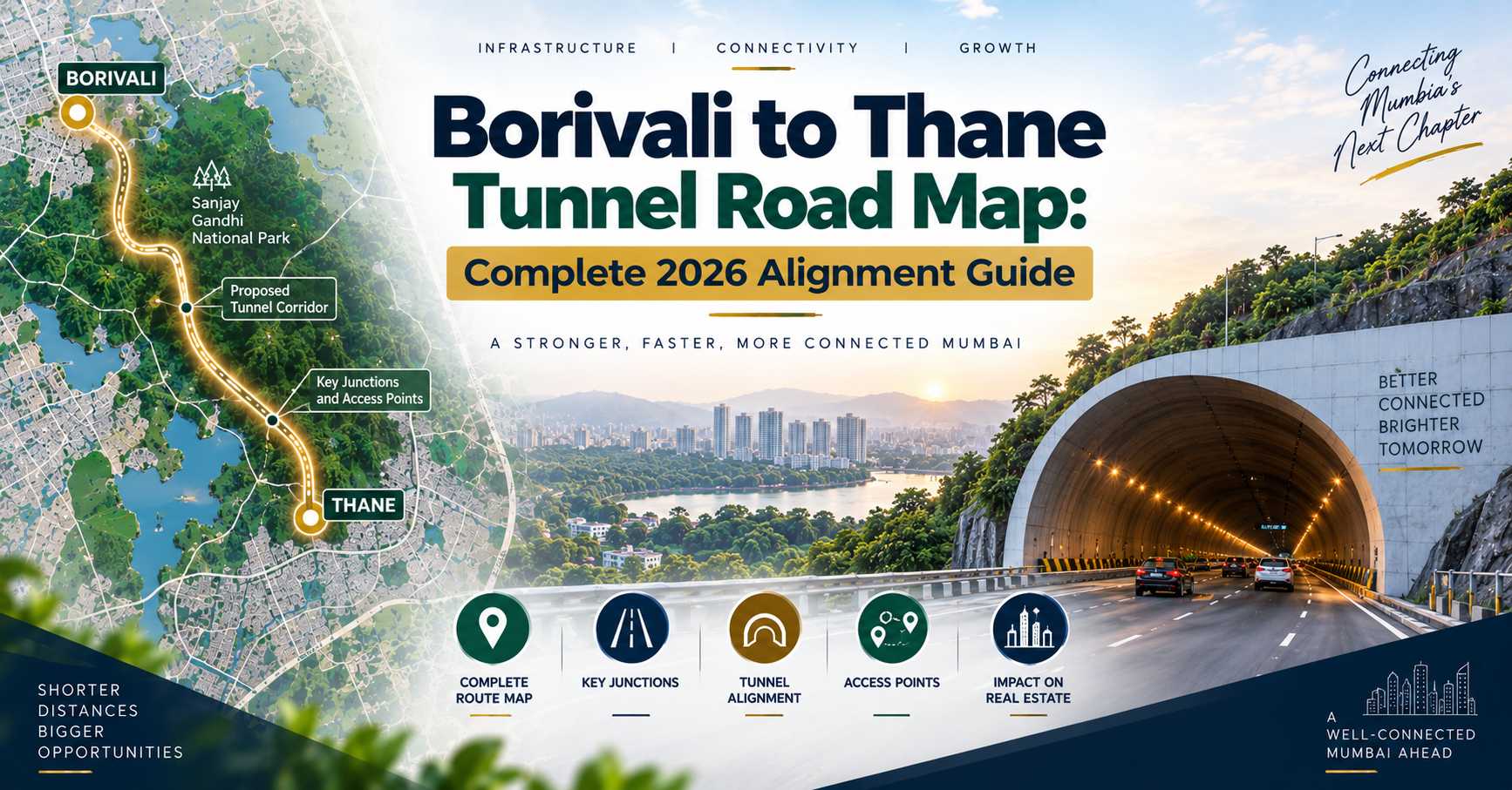
The Thane Borivali tunnel route map runs from Tikuji-ni-Wadi near Manpada junction on Ghodbunder Road, Thane, to Ekta Nagar in Magathane, Borivali East, beside the Western Express Highway. The 11.84 km corridor includes 10.25 km of twin tunnels driven 20 to 23 metres beneath Sanjay Gandhi National Park.
Most buyers who ask us about the Thane Borivali tunnel route map are really asking one question: how far is my flat from a portal? It is the right question. In every infrastructure-led market in the Mumbai Metropolitan Region, the premium concentrates within a two to three kilometre band of the access point, not along the corridor’s whole length. A tunnel you cannot enter near your home is a road you watch other people use.
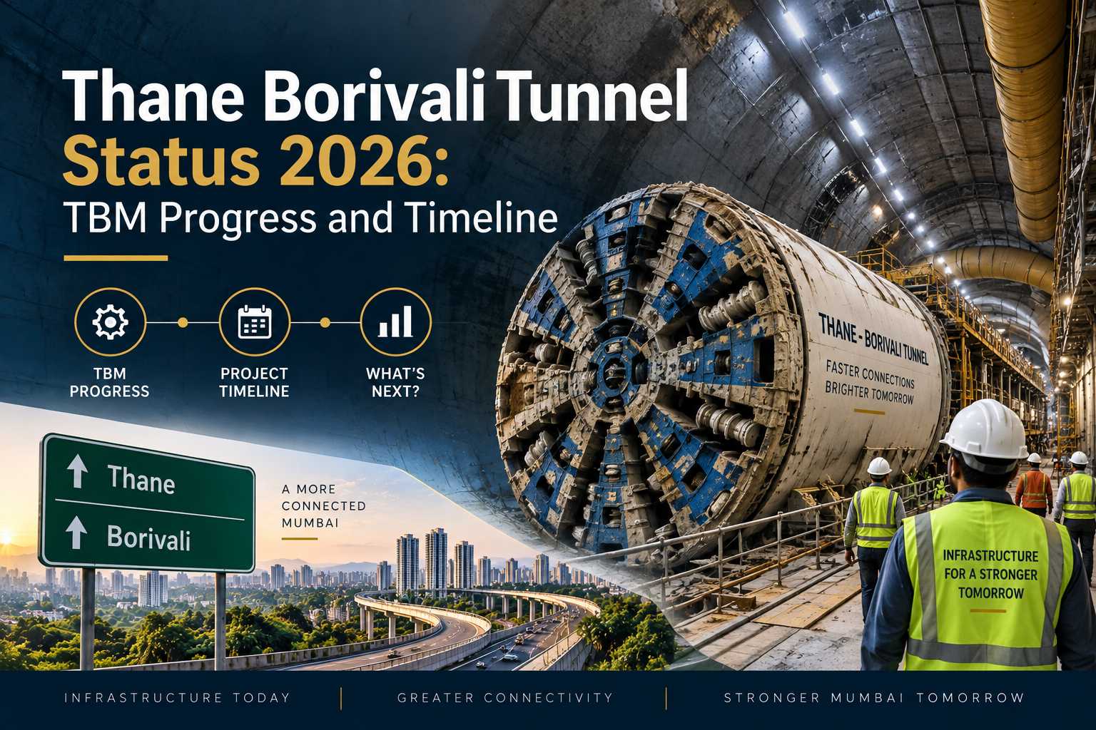
So this guide walks the alignment end to end. Where it starts, where it surfaces, what lies above it, how the 2025 realignment shifted the Thane portal, and which Thane and Borivali localities actually sit inside the catchment. Our team analysed the MMRDA project disclosures and the environmental clearance documentation to map it out, and in 2026 the alignment is no longer theoretical — TBM “Nayak” has been boring under the national park since 7 April 2026.
The Thane Borivali Tunnel Route Map, Portal to Portal
The corridor is short by MMR standards but unusually complex, because almost all of it is underground and almost all of that underground stretch is under legally protected forest. Here is the alignment in sequence, running east to west.
| Segment | Location | Approx. length | What it does |
|---|---|---|---|
| Thane approach road | Ghodbunder Road near Manpada / Tikuji-ni-Wadi | Part of the 1.59 km of surface roads | Feeds traffic off Ghodbunder Road into the portal |
| Thane portal | Tikuji-ni-Wadi, Manpada, Thane West | — | Tunnel mouth and launch shaft |
| Twin bored tunnels | Beneath Sanjay Gandhi National Park | 10.25 km per tube | Three lanes each way, 20-23 m below surface |
| Borivali portal | Ekta Nagar, Magathane, Borivali East | — | Tunnel mouth and shaft |
| Borivali approach road | Beside the Western Express Highway | Remainder of the 1.59 km | Connects into WEH traffic |
Total corridor: 11.84 km. The distinction between the 11.84 km headline figure and the 10.25 km tunnel figure confuses people constantly — the difference is the surface approach roads at each end, not an error.
One change worth noting on any older route map you may have seen. In June 2025, MMRDA shifted the Thane-side portal by roughly 200 to 225 metres towards the Satya Shankar boundary wall. The realignment was modest in engineering terms but it does move the exact mouth of the tunnel relative to the residential clusters immediately around Tikuji-ni-Wadi, which matters if you are comparing two towers a few hundred metres apart.
What Sits Above the Alignment
The answer, for nearly the whole run, is forest. Sanjay Gandhi National Park covers roughly 103 square kilometres across the northern edge of Mumbai and the tunnel threads beneath it rather than around it. This is the first instance in India of road tunnels being driven under legally protected forest land, and the method reflects that.
An environmental assessment along the corridor identified 18 highly protected species in June 2023. The 20 to 23 metre depth, the choice of shielded tunnel boring machines over drill-and-blast, and the wildlife clearances secured in October 2023 and February 2024 all exist to keep the surface of the park untouched.
Practically, that has two consequences for homebuyers:
- No intermediate exits. There is no interchange inside the park. You enter at one portal and leave at the other. Localities along the middle of the alignment get nothing from it.
- No surface disruption during construction. Unlike a flyover or a metro viaduct, there is no multi-year road closure along the route. The disruption is concentrated at the two portal sites.
- No settlement risk above the deep section. At 20-plus metres with shielded TBMs and continuous monitoring, the buildings near the alignment are not in the settlement zone. The structures cleared at Borivali were at the shaft site, not above the bore.
- Permanent green buffer. The land above the tunnel cannot be developed. Towers on the Thane side facing Yeoor keep their forest outlook indefinitely.
Which Localities Are Actually Inside the Catchment
This is where a route map becomes a buying tool. Using the two portal locations, here is how the surrounding micro-markets rank by genuine access, along with where prices sit in 2026.
| Locality | Side | Access to portal | Rate per sq ft (2026) |
|---|---|---|---|
| Manpada / Tikuji-ni-Wadi | Thane | At the portal | Around Rs 22,500 |
| Majiwada | Thane | 3-5 minutes south on Ghodbunder Road | Ghodbunder band, Rs 9,000-16,000 |
| Kolshet Road | Thane | 10-20 minutes | Ghodbunder band |
| Kasarvadavali | Thane | ~8 km north on Ghodbunder Road | Around Rs 13,900 |
| Magathane / Borivali East | Mumbai | At the portal | Rs 29,350-32,150 |
| Kandivali East | Mumbai | 5-10 minutes south on the WEH | Western suburb band |
Notice the asymmetry. On the Thane side the portal opens onto Ghodbunder Road, a single arterial that already carries the entire corridor’s traffic, so access quality degrades fast as you move north towards Kasarvadavali. On the Borivali side the portal opens onto the Western Express Highway, a far higher-capacity road that distributes traffic in both directions immediately.
That difference is why we tell Thane buyers that portal proximity is worth paying for and Borivali buyers that it matters less. For the micro-market comparison in detail, read our breakdown of Ghodbunder Road vs Kolshet Road vs Majiwada.
How to Use the Route Map When Shortlisting a Flat
A five-step check we run for every Thane buyer who brings the tunnel into their decision:
- Pin the Thane portal at Tikuji-ni-Wadi, Manpada. Use that, not “Ghodbunder Road” generally, as your reference point. The corridor is 11.84 km long; the access point is a single junction.
- Measure driving distance, not straight-line distance. On Ghodbunder Road a project 2 km north can be 12 minutes away at 9 am. Straight-line maps flatter projects that do not deserve it.
- Check which side of Ghodbunder Road the project sits on. Crossing the arterial at peak hour costs real minutes and there are limited signalised turns.
- Confirm the project is not dependent on the tunnel. Ask what the commute looks like in 2027, before the tunnel opens. If that answer is unacceptable, the tunnel is carrying too much of the argument.
- Look at the Yeoor and SGNP outlook. Because the land above the tunnel is protected, north and west-facing towers near Manpada hold a view that cannot be built out. That is a durable premium, unlike a view over a vacant plot.
The two-portal rule
Because there are no mid-route exits, the tunnel only benefits a home that can reach one of the two portals quickly. Roughly, a Thane home within 10 minutes of Tikuji-ni-Wadi captures most of the benefit, 10 to 20 minutes captures part of it, and beyond 20 minutes you are largely buying the area’s other fundamentals.
What the Route Means for Godrej Projects in Thane
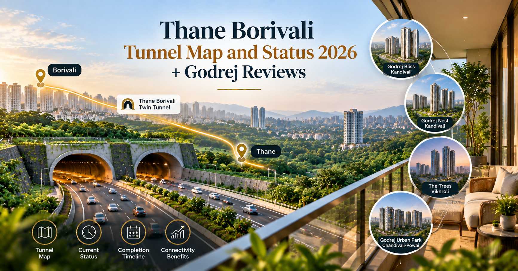
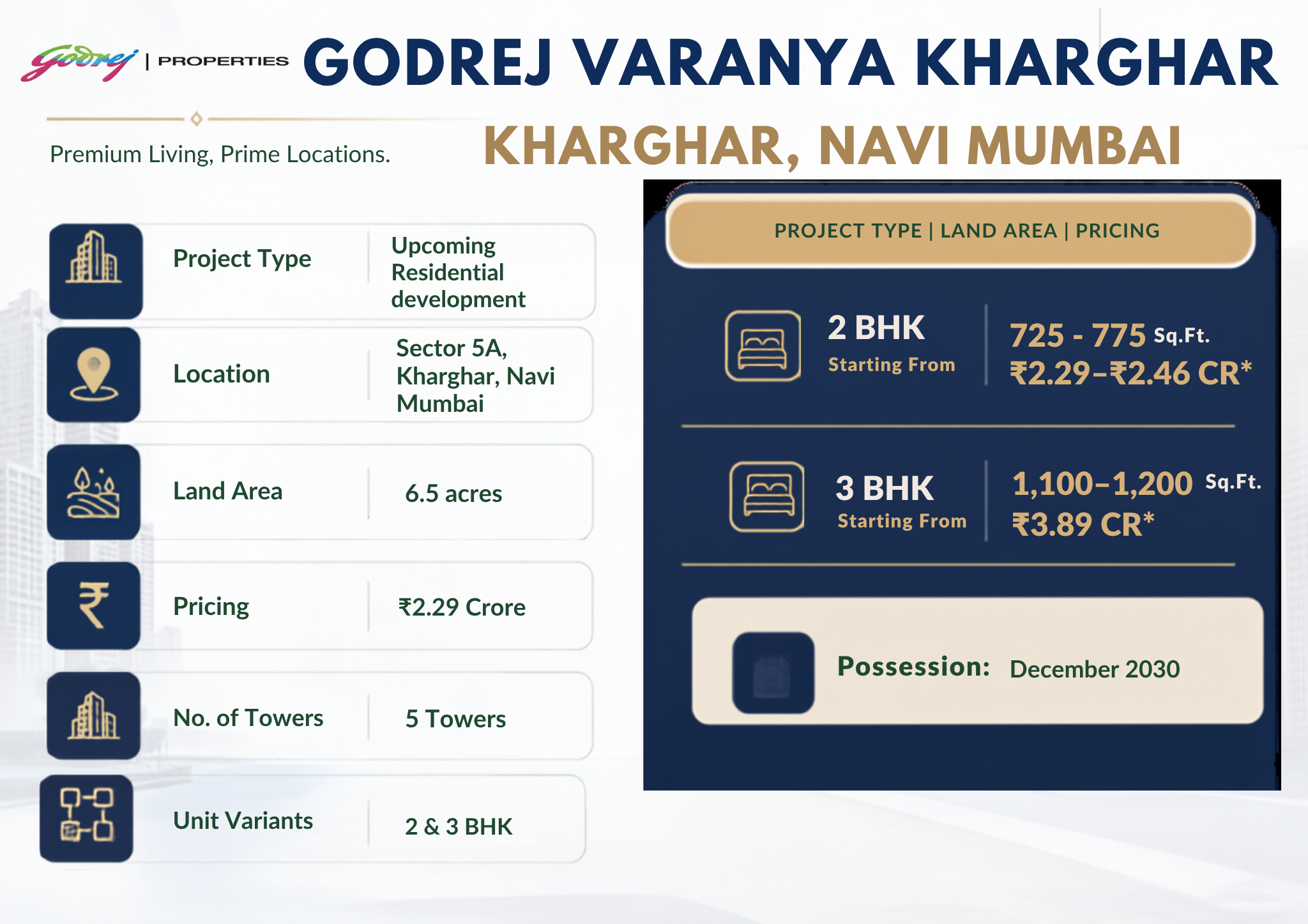
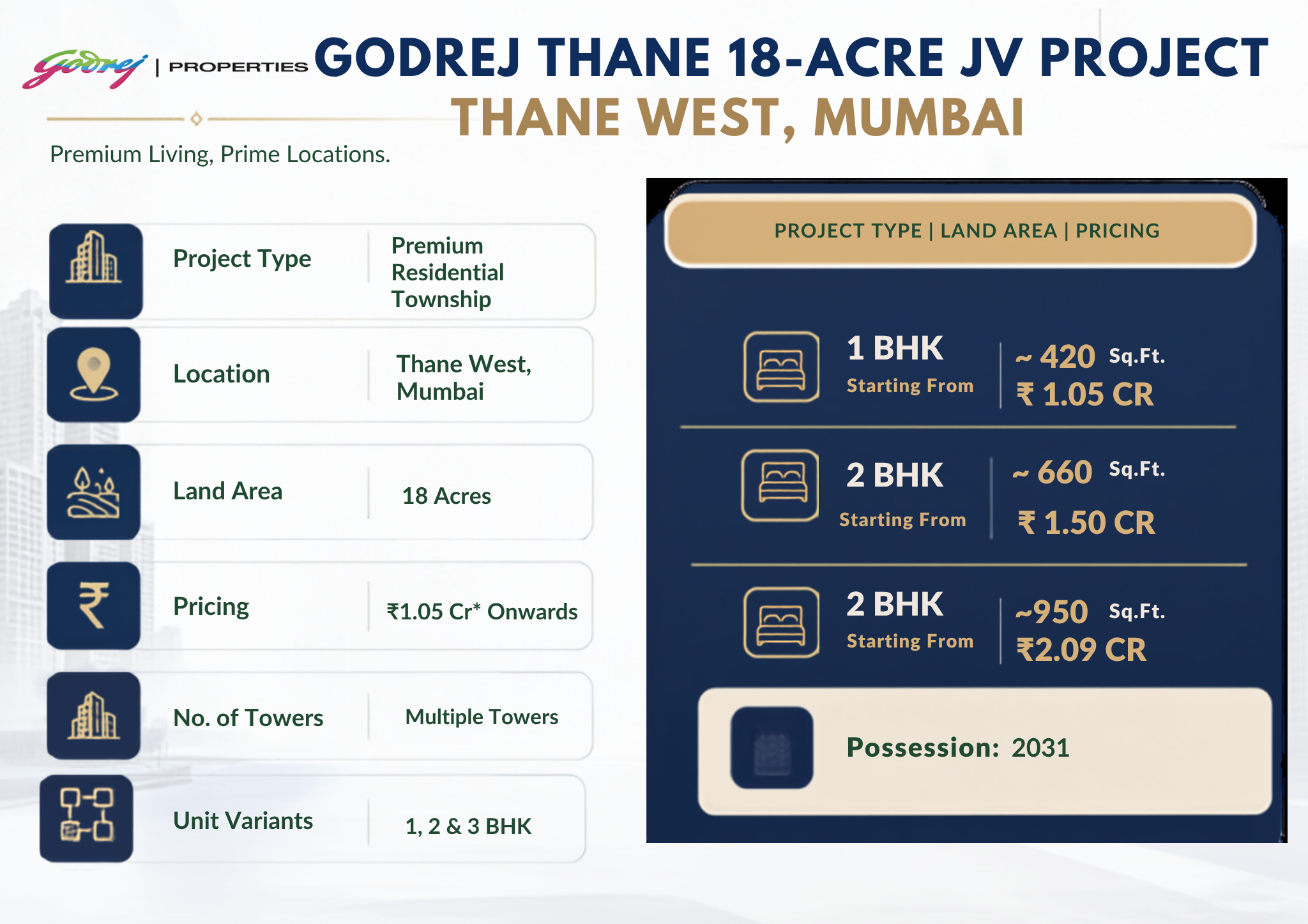
Two Godrej Properties Limited addresses sit inside the meaningful band. The 18.5-acre township at Manpada on Ghodbunder Road is the closest, effectively at the Thane portal, and it faces the Yeoor Hills edge of the same protected forest the tunnel runs beneath — which means the view is locked in by law rather than by good fortune. Godrej Ascend on Kolshet Road sits in the second band, trading a few minutes of portal access for better proximity to Thane station and the Eastern Express Highway.
Godrej Properties Limited is a third-party developer with a long MMR delivery record, and its project disclosures are published at godrejproperties.com. Our role is to help buyers read the map honestly — including the parts that do not flatter a listing. For a wider look at the portfolio, see our Godrej Thane portfolio guide.
Frequently Asked Questions
Q: Where exactly does the Thane Borivali tunnel start and end?
It starts at Tikuji-ni-Wadi near Manpada junction on Ghodbunder Road in Thane West and ends at Ekta Nagar in Magathane, Borivali East, next to the Western Express Highway. The route map covers 11.84 km in total, of which 10.25 km is bored tunnel.
Q: Is there a downloadable Thane Borivali tunnel route map?
MMRDA publishes the alignment in its detailed project report and on its project page for the twin tube tunnel, and the environmental clearance filing for the Tikujiniwadi-to-Borivali road tunnel also carries alignment drawings. Those are the two authoritative sources.
Q: Does the tunnel have any exits inside Sanjay Gandhi National Park?
No. There are no intermediate interchanges. The only access points are the two portals. Inside the tunnel there are cross passages every 300 metres, but those are emergency evacuation links between the two tubes, not exits to the surface.
Q: How deep does the tunnel run and why does that matter?
Roughly 20 to 23 metres below the surface at its deepest. The depth keeps the national park surface undisturbed and puts buildings near the alignment outside the settlement risk zone that shallower tunnelling would create.
Q: Did the Thane portal location change?
Yes. In June 2025 MMRDA realigned the Thane-side portal by about 200 to 225 metres towards the Satya Shankar boundary wall. If you are working from a pre-2025 route map, the Thane mouth is drawn in a slightly different spot than the current one.
Q: How far is Manpada from Borivali once the tunnel opens?
About 15 minutes of driving time, against the 60 to 90 minutes the surface route via Ghodbunder Road and the national park perimeter currently takes in peak traffic. That compression is the entire economic case for the project.
Q: Which Thane localities gain the most from the route?
Manpada and Tikuji-ni-Wadi first, because they sit at the portal. Majiwada and the southern Ghodbunder stretch next. Kasarvadavali and the far northern Ghodbunder belt gain least, because reaching the portal still means driving the congested arterial.
Our Verdict on the Alignment
The Thane Borivali tunnel route map rewards precision. Two portals, no intermediate exits, and an arterial approach on the Thane side that gets slower the further north you go. A flat marketed as “near the tunnel” from 9 km up Ghodbunder Road is not near the tunnel in any way that changes your morning.
Pin Tikuji-ni-Wadi on your map, measure real driving time to it at 9 am, and judge every shortlisted project against that single number. If you want help running that check on specific towers in Thane West, our team can do it with you on a site visit.